31 HIGH PINE CR
Owner Information
RYAN DONALD C
31 HIGH PINE CR
EAST LONGMEADOW, MA 01028


Property Details
31 HIGH PINE CR is classified as a Single Family Residential (Colonial).
The primary structure on this property was built in 1985. There is 3,255ft2 of residential/living space within this property.
31 HIGH PINE CR is valued at $438,900. The land is valued at $116,300 and the structures are valued at $308,200. There is an additional valuation of $14,400 on this property.
This property is in Zone RA. Confirm with local Zoning Board authorities to ensure there are no overlays or other easements on this property.
The most recent deed for 31 HIGH PINE CR is recorded at the local registrar in Book 13330, Page 77. 31 HIGH PINE CR was last sold on Wednesday, June 25, 2003 for $468,000.
Assessment data from fiscal year 2019.
Flood Data
According to the FEMA National Flood Hazard Layer, this property does not appear to be in a flood zone. It may also be in an area not yet reviewed. Nonetheless, confirm this information prior to taking any action.
To view the flood hazards around this property, create a FEMA "Firmette" Map of the area around 31 HIGH PINE CR.
Broadband Internet Providers
| Provider | Type | Bandwidth (mbps) | |
|---|---|---|---|
| VSAT Systems, LLC. | Satellite | 2 | 1 |
| HughesNet | Satellite | 25 | 3 |
| Viasat Inc | Satellite | 100 | 3 |
| Verizon New England Inc. | DSL | 5 | 0 |
| Charter Communications Inc | Cable | 940 | 35 |
| T-Mobile | Fixed Wireless | 25 | 3 |
| GCI Communication Corp. | Satellite | 0 | 0 |
Broadband service provider data from December 2020.
Adjacent Properties
- 23 HIGH PINE CR
Single Family Residential owned by GIGUERE JOSEPH J - 35 HIGH PINE CR
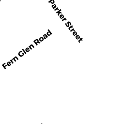
Single Family Residential owned by FERENCE DAVID M + KARRY A - PARKER ST
Vacant, Conservation (Municipal or County) owned by TOWN OF EAST LONGMEADOW - 10 PEACHTREE RD
Developable Residential Land owned by GERGLEY CHARLES J - 6 PEACHTREE RD
Single Family Residential owned by GLOSTER SHAWN - 4 PEACHTREE RD
Single Family Residential owned by SPANN FREDERICK D JR - 2 PEACHTREE RD
Single Family Residential owned by JOHNSON ROBERT H